
Explorer
Due to Indonesia's location on the Pacific Ring of Fire, Indonesia is exposed and vulnerable to geophysical hazard such as volcanic eruptions, earthquakes, and tsunamis. Indonesia also exposed and vulnerable to hydrological disaster (e.g., floods, landslides, high tides), meteorological disaster (e.g., cyclones, storms), climatological disaster (e.g., droughts, wildfire), biological disaster (e.g., epidemics) and potential of technological failure.
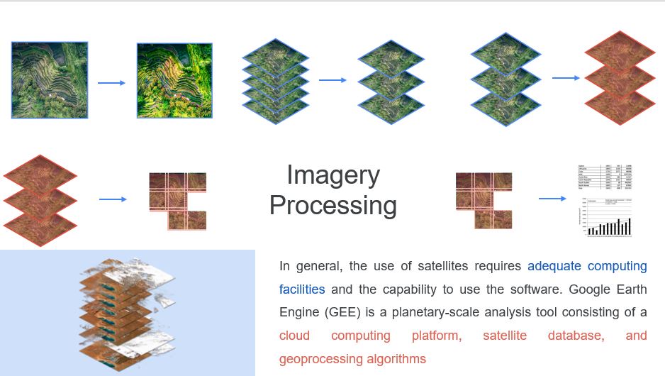
The vast area of Indonesia requires an effective method of mapping the potential, impact, and recovery of disasters as well as the environmental problem as driven factors. The use of satellites is an effective method used in disaster and environmental management
Hasil Timelapse
Reklamasi Jakarta
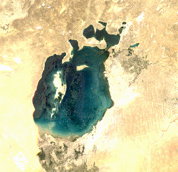
Penyusutan Laut Aral
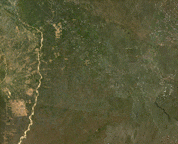
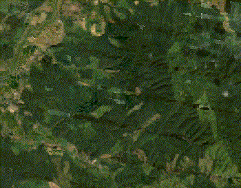
Deforestasi, Bolivia
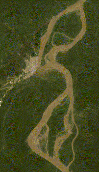
Meandering, Peru
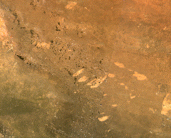
Kebakaran Hutan, Australia
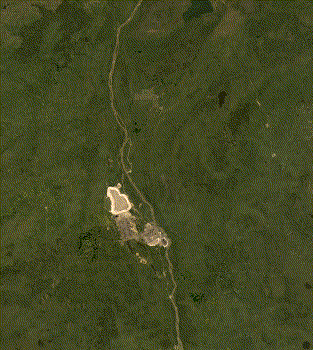
Pertambangan, Kanada
Urbanisasi, Myanmar
Longsor, Jepang